Councils, Wards and Who Represents Us.
As Kiwis, we know who represents us internationally, either on the rugby field or the political one. Whether the boys have got the ball or the Ministers in the Beehive have dropped it, we can acknowledge that they internationally represent aspects of Aotearoa/New Zealand.
But what about on a local level? Who represents you, your suburb, city, or town? Who makes the decisions for your community?
Aotearoa is divided into 67 territorial district councils; 13 cities, 53 districts and the Chatham Islands. Each council has a mayor and deputy while the number of other councillors depends on each district’s area and population sizes. These lucky people are elected every three years and are responsible for local parks and libraries, liquor licences, dog and noise control while also taking part in community partnerships and civil defence planning.
To fund these community efforts, councils have to collect taxes in the form of rates. These are charged to each household in the district and the price is determined by the value of each property. The 31.9% of kiwis in rentals pay their rates through their rent, homeowners, unfortunately, get a bill each month.
So, councils represent us on a local level and the rates we pay go towards creating a district and neighbourhood we want to live in. It’s our council that represents us then. That was a quick article.
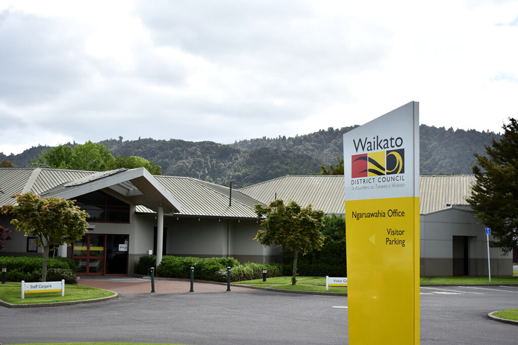
Well, yes and no. Districts can cover a large distance with multiple townships and communities. Therefore, councils with big enough areas or populations will break down their districts into smaller areas called wards. For example, the Waikato District (WDC) which covers over 400,000 hectares, an area that includes 11 different townships, currently has 10 wards.


The lines may look random on the map, but within them are communities that interact and connect with one another. Due to the WDC’s size, and that these townships are so spread apart, their communities grow and develop individually from each other. Dividing the district into wards creates a system where these individual communities each get their own representative in council. These wards and other representative arrangements are reviewed by councils every six years.
So while these wards, or this article, may seem like something to worry about at the next election, the lines on the map have to be drawn beforehand. Knowing which side of the line your house is on could mean knowing who from your community you’re electing to represent you.
At the beginning of the year, Parliament made amendments to the Local Electoral Act 2001 making it easier for councils to establish Maori wards within their districts. That meant many councils across Aotearoa were making the decision to create Maori wards in time for local elections next year.
As part of their review, WDC redrew the ward boundaries within the district, establishing a Maori ward that covered the district but also merging current wards together with fewer representatives. This meant that townships like Huntly and its surrounding communities were included in the same ward as Ngaruawahia and its surrounding communities. It also meant both towns and communities would go from having two representatives each to only having two, spread between both.
“It’s a weakening of local democrocy”
KIM BREDENBECK, MEMBER OF THE HUNTLY COMMUNITY BOARD AND CEO OF THE WAIKATO ENTERPRISE AGENCY.


Despite these townships being close on a map, their communities are separate from each other. Unlike their surrounding communities, people from either township don’t travel to the other for activities like grocery and general shopping, travelling to and from Hamilton, social and sports clubs, employment options, or education.
With that separation of communities also comes a difference in issues and challenges that each community faces. The inclusion of these two different communities in the same ward with fewer representatives would have made it harder for their issues to reach the council.
The WDC released their proposal to the public for review and the public responded. The Huntly Community Board submitted their own response to WDC’s proposal, calling for Huntly and its surrounding communities of interest to be included in their own ward. This was done to assure that the residents of Huntly were represented in council by locals who will have their interests in mind and be able to bring them to the council table.
The plan was then reviewed by the WDC who made changes to the proposal, giving Huntly and its surrounding smaller communities their own ward, however, with only one council member. This is despite StatsNZ data showing Huntly to have the largest population in the district. With 4752 on the east side, 3153 on the west and 2271 rurally as of 2018, that makes a population over 10,000 being represented in local council by only one member.
“It’s a weakening of local democracy”, said Kim Bredenbeck, member of the Huntly Community Board and CEO of the Waikato Enterprise Agency. “Their decision making throughout the district wasn’t consistent. Townships like Pokeno and Tuakau had growth taking into consideration, while the growth of Huntly wasn’t, despite the new Sleepyhead development 2kms down the road.”
Public submissions for the WDC proposal have unfortunately finished and the proposal has been finalized in time for next year’s local elections. The ward boundaries and council numbers will be reviewed again in six years time by a different group of elected officials.
In the meantime, there will still be countless other decisions made by councils around Aotearoa regarding the local issues of all Kiwis. Do you know if your issues will be addressed and fixed? Do you know who represents you on a local level?