State of the art geo-mapping makes sky the limit for data access
New technology is making it easier for farmers to control their land, and geomapping scientist Kurt Joy says it is only improving.
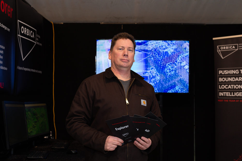
Cutting-edge technology allowing for precise geo-mapping across the globe is on show at Fieldays, and Orbica location data specialist Dr Kurt Joy says it is here to stay.
The new software utilises a global network of real-time satellite feeds and historical data to map the earth’s features, something Joy calls a gamechanger.
“What we’ve designed is a web application that allows you to look anywhere on the planet, and look at not only visual imagery, but also moisture indexes, land use change, surface disturbance, and allow you to look at the changes over time.
“We’re interested in giving people access to free satellite data in ways they wouldn’t have access to.”
The software was open to the public to test in the Innovations tent, and Joy says even other vendors are interested in their technology.
“We’ve had apiarists looking at whether they can see changes in manuka from space, we’ve had a bunch of kids looking at deforestation in Borneo, farmers looking at whether they can quantify their horticulture… we’ve had lots of people come and drop in.”
Orbica had simulations available for the public to crash test, one showing the effects of the Port Hills fire on the Canterbury region.
Software like geo-mapping technology is becoming a crucial part of firefighting as well as in other lines of work.
Joy said that was partly why they were doing it.
“What we’re interested in is how we can start building tools for other industries.
“We’re not farmers, we’re not agronomists, we’re GIS guys, satellite nerds, and geographers. We’re really interested in how we can start developing tools that people can use.”